#megaliths


New print in our etsy shop!! Available asbackpatchandt-shirt!
“An Thríbhís Mhòr, the great triple spiral.”
The triple spiral motif is a Neolithic symbol common to many Indo-European cultures, examples of it are found from the megalithic temples of Malta in the South (4400–3600 BC) to the Northern megalithic tomb of Newgrange in County Meath, Ireland, built around 3200 BC.
The triskelion/triskele is one of the most distinctive motifs in Iron Age Celtic art as well, both as a symbol in itself and forming the geometric basis for more complex artistic compositions. It remained a core symbol in Celtic artistic compositions for over a millennium, recorded throughout the La Têne period across the continent, and a central element in later Insular Celtic art of the early Christian period. Significant also is the fact that the triskele composition is often composed of animals of various types, indicating that the symbol was linked to or emanated from the natural world.
Collaboration with the very talented artist from Siberia Sergey Arzamastsev, who very generously gave us the permission to print his amazing work. You can find more of his artworks at this link: https://www.instagram.com/celticartlogo/
**this print is grey on black, but it’s available in different colour combinations
Post link
, Wiltshire, about 10 years ago.")


Lochbuie stone circle, Isle of Mull, Scotland 2017
This small stone circle is the only one on Mull and stands in a breathtakingly beautiful setting, under the watchful gaze of Ben Buie.
You have to cross an extremely boggy field to reach it, so wear your tallest wellies and be very careful if you don’t want to be found as a bog body in thousands of years. Peat bogs are a type of wetland where the water on the ground surface is acidic and low in nutrients. They are filled with decaying organic matter, usually feature rich biodiversity and from a distance, they look rather homogeneous. However closer up, you discover that peat bogs are actually not that uniform in surface, depth or texture. In fact, they’re quite treacherous as you can never tell how deep (sometimes VERY deep) or spongy your next step is going to be. Hiking through them can be hell, as you can sink in bogs quite quickly.
The circle probably dates to the late Neolithic (3000 BC) or early Bronze Age. There were originally 9 stones, all of local granite. One of the stones has been replaced by a low boulder. The circle is about 12.3 metres in diameter, with the tallest stone about 2 metres high and the smallest about 1.2 metre high. Interestingly, the standing stones have been placed so that their flattest side faces the interior of the circle. There are three outlying stones, one about 5 metres from the circle to the south east. This is a fairly unobtrusive boulder about 1 metre high, and its azimuth of 123° with a very high horizon gives a declination of -12°, of no known significance. The second outlier is a very striking monolith about 3 metres high, standing at least 40 metres to the south west. The azimuth of 223.6° with a horizon height of 0.4° gives a declination of -23.7°, and so indicates the position of the setting sun at the winter solstice. The horizon is now partially blocked by nearby trees. Much further away (about 110 metres) is the third outlier, which is roughly 2 metres high. This stone looks like it has suffered a break near the top and was probably much taller when it was first erected. The bearing of 237° and an altitude of just over 2° gives a declination of -16.0°. This is the declination of the sun at the winter Quarter days in early November and early February.
Post link
 o")
 o")
Glengorm standing stones, Isle of Mull, Scotland 2017
Three standing stones (around 2 metres high) occupy a commanding position on the end of a ridge in the broken ground to the west of Glengorm Castle. In the early 1880s only one of the stones was upright, but the other two had been re-erected by 1942. The stones are surrounded by a modern enclosure-bank and the packing-stones visible around the two re-erected stones are also of a recent date. The site was excavated as part of a four week survey of the stone alignments of northern Mull. The northernmost of the three stones appears to have been re-erected near its original position, while the southernmost stone has been dragged NE, to be wedged upright in a cleft in the bedrock. The original alignment did not repeat the trend of other sites in the area. Further conclusions await processing of the survey data.
The existence of a large mound of stones nearby was recorded in 1883, but it is no longer visible, and it is not clear from the description whether it was a prehistoric burial cairn or not.
Glengorm was originally known as Sorne. In 1850, the new landlord, one James Forsyth, began to ‘improve’ his estate in the usual fashion in the Highlands - by clearance. The main house was replaced by a large and imposing baronial 'castle’. Forsyth sought advice on a new name for the estate from one of the few remaining tenants of the land, an old lady, and she suggested Glengorm, meaning Blue Glen. Little did he suspect that the name would commemorate, for all time, the days when the glen was indeed blue with smoke from the burning homesteads.
Post link

The megalithic portal of Cashtal-yn-Ard, Maughold parish, Isle of Man. The ancient burial chamber known as ‘Cashtal-yn-Ard’ stands on the edge of a hill to the northeast of Glen Mona, just to the south of Cornaa in the parish of Maughold, and close to the eastern coastline of the Isle of Man. It is quite a large megalithic structure at 130 feet in length. The name “Cashtal-yn-Ard” is thought to mean “The Castle of the Heights”. Situated on raised land near the coast, the site provides impressive views overlooking most of the parish of Maughold and across the sea to the Lake District. Cashtal-yn-Ard is a large, oblong shaped chambered cairn, of ‘Clyde-Carlingford’ type, dating from the late Neolithic Age – roughly between 1,800-2,000 BC. It covers a large area of 40m (131 ft) long and 14m (46 ft) wide, and it still has its outer kerb stones, horned forecourt, entrance and 5 burial chambers. It is roughly aligned west to east. A semi-circular forecourt of six stones at the western end gives access, through a portal of two large standing stones, to a burial chamber of five compartments, originally slab-roofed. The slabs of these burial chambers are angled inwards and some have jagged edges, but sadly all but one of the roof-slabs have been lost, although this long flat-slab might not be the original one. Here unburnt bones, pottery and flints were found. With its five chambers it’s quite similar in structure to the largely intact Brlas Knap long barrow in Gloucestershire. East of the the burial chambers is a mound of earth and stones reddened and fused by heat, which archaeologists can’t explain. The whole monument, apart from the forecourt, was originally covered by a massive oblong cairn 130 feet long. Some of the large standing stones at the entrance have been re-erected or replaced. However, its large earth or stone mound, has gone – the stones now lost to local walls and farm buildings. The monument is very well-preserved and is said to be one of the largest of its kind in the British Isles. (presso Maughold)
Post link


The Plain of Jars -Laos
The Plain of Jars is a collection of hundreds of iron age megaliths in the mountainous Southeast Asian nation of Laos. Some of these gigantic jars stand three meters in height and others date back 2500 years. Their function and origin remain unknown. Research continues to be hampered by their remote location and unexploded US ordinance left in the region.
Post link


Over the past century, dozens of carved megalithic stone slabs of unknown origin and function have been uncovered in the southern part of the state of Mexico and the north of Guerrero, mostly around the small archaeological site of San Miguel Ixtapan, Tejupilco.
Further excavations, beginning in 1995, have revealed the remains of extensive megalithic architecture consisting of huge blocks of basalt and andesite, many weighing several tons, showing remarkable similarities with South American artistic and architectural styles.
“…surprisingly little is known of these mysterious slabs, with only a handful found in an archaeological context. Their function (altar stones, ornamental panels or elements of megalithic architecture?), Their age and their provenance are totally unknown. What civilization or culture produced them? How many centuries or millennia ago? Another mystery lies in the accuracy of the engravings in hard andesite or basalt, which would have required the use of hardened metal tools of which there is no evidence in the archaeological records of Mesoamerica”
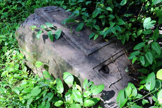
Over 4000 year old Volkonsky dolmen in Russia completely carved out of one solid boulder and large drill holes nearby… one big mystery!


Prehistoric large cup and ring petroglyph at ‘Laxe das Rodas’, Galicia, Spain.
Cup and ring marks or cup marks are a form of prehistoric art found mainly in Atlantic and Mediterranean Europe. They consist of a concave depression, no more than a few centimetres across, pecked into a rock surface and often surrounded by concentric circles also etched into the stone. Sometimes a linear channel called a gutter leads out from the middle. The decoration occurs as a petroglyph on natural boulders and outcrops and also as an element of megalithic art on purposely worked megaliths, and on some stone circles and passage graves.-wikipedia.com
Post link